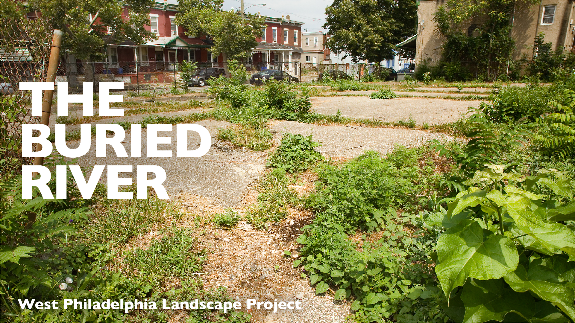
Overview
WPLP created the digital database during 1988-1991 as part of the West Philadelphia Landscape Plan and Greening Project. Between 1994 and 1996, we added new data and a new menu system for overlaying maps of different information. Though shown here as static maps, the original data could be manipulated and overlaid to produce new maps at any desired scale, of any specific area within the project boundary.
The West Philadelphia Digital Database ran on a personal computer and made information and analytical tools once available only to governmental agencies and large institutions accessible to individuals and small groups. At the time, this was a revolutionary development. Now we take it for granted that once a digital database is set up, it can be shared by many different online users. This was not the case in 1991, when the World Wide Web was in its infancy. The first commercial web browser did not appear until 1994.
Digital Database Demonstration
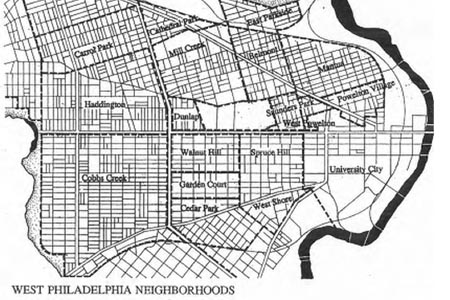
This demonstration shows how the digital database worked in 1991. The sequence of images explores the relationship between vacant land and the buried floodplain of Mill Creek. The database resided on a desktop computer. It was not online, since the first website did not appear until later that year, and the Web did not yet permit interactive mapping. See the demonstration on the 1997 WPLP website.
The Digital Database: Atlas and Guide
This 1996 report describes the digital database and its uses and provides an introduction to West Philadelphia through maps from the 1990s.Read the guide.
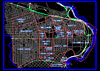
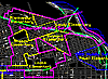
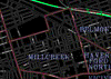
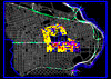
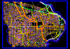
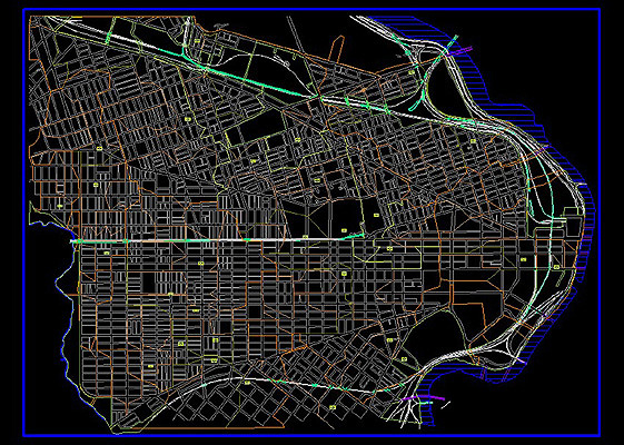
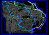
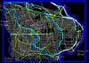
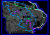
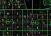
Maps
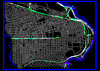
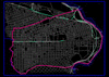
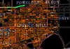
The maps below are screenshots from the original database, with explanatory text from 1996.
View Map
View Map
View Map

View Map
View Map
View Map
View Map


View Map

View Map

View Map

View Maps: East/West (214kb) | North/South (217kb)
View Map
View Map

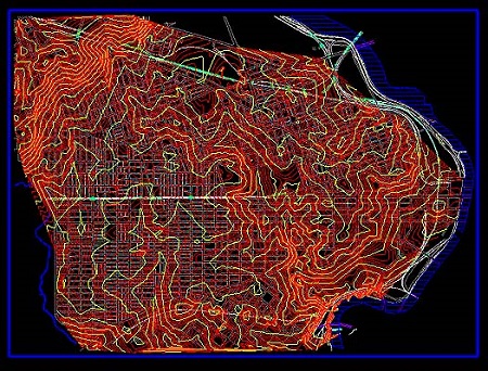
View Maps: 2-Ft Contour Interval | 5-Ft Contour Interval

View Map
View Map