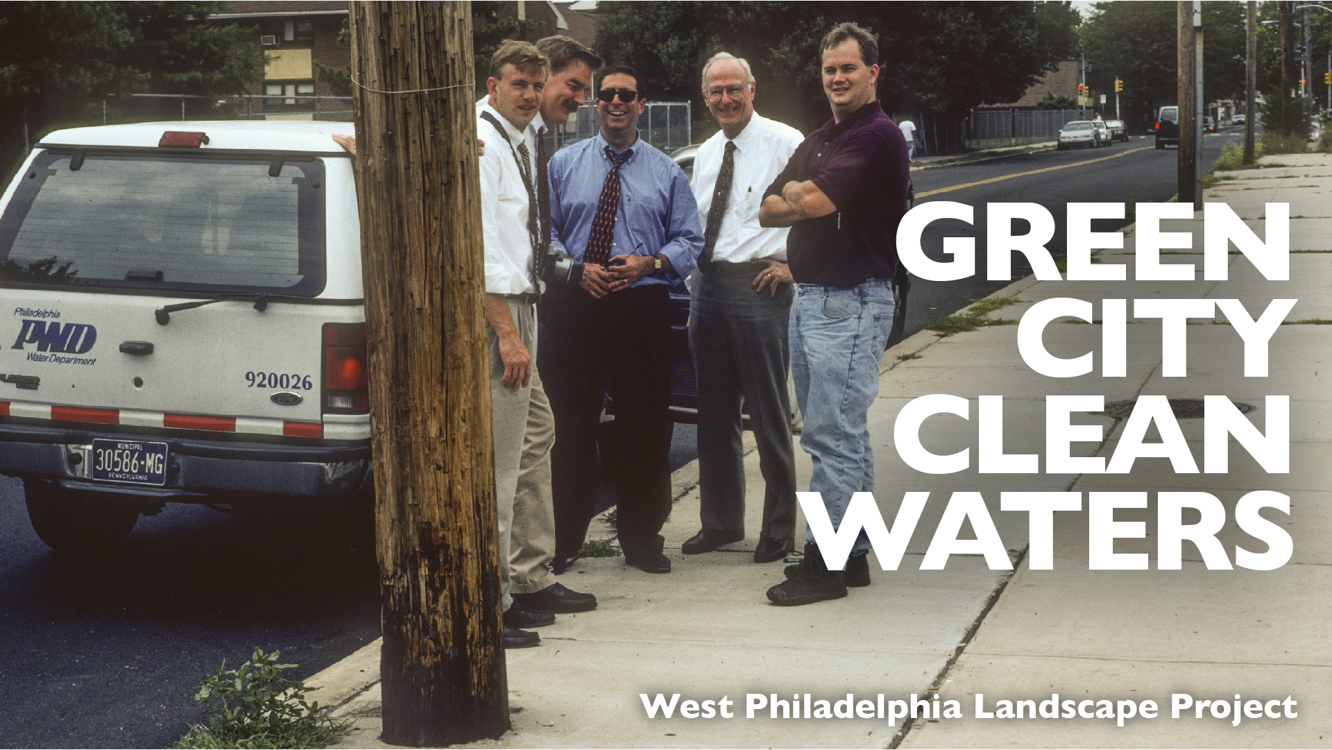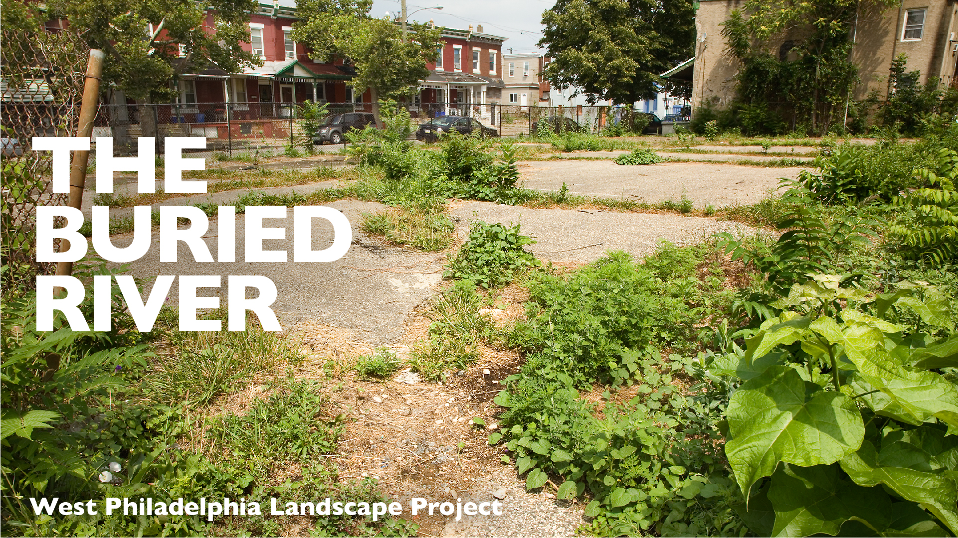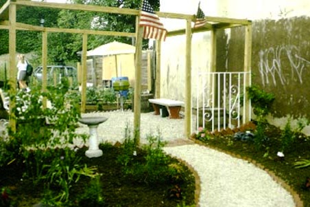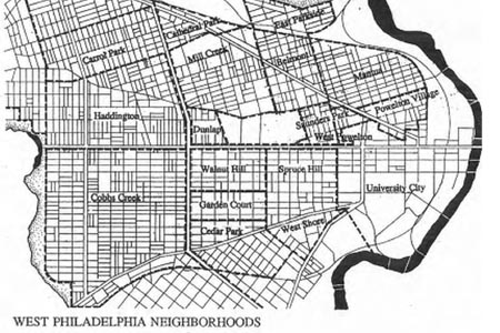
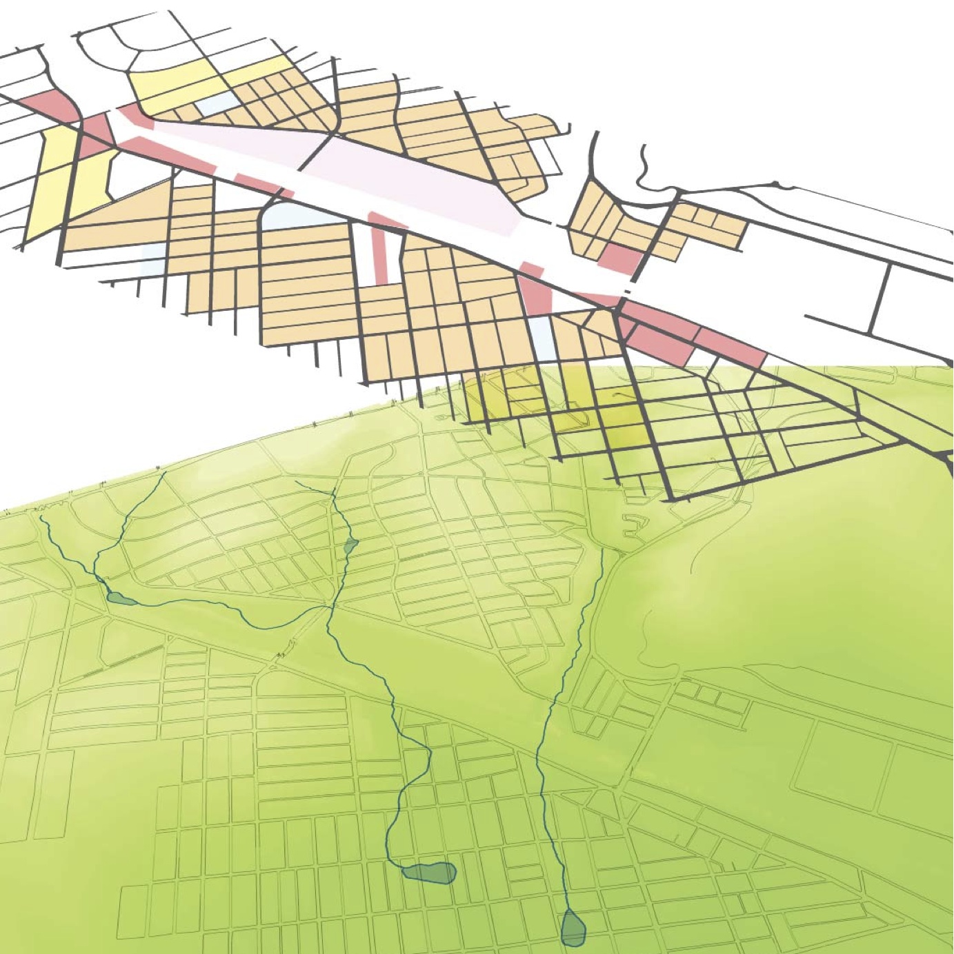
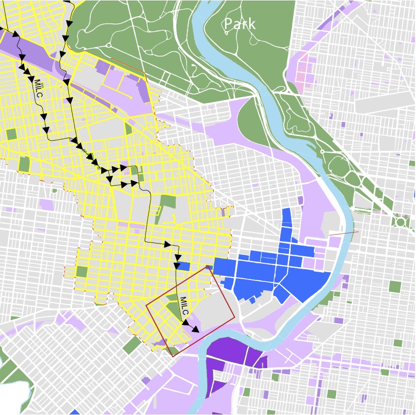
In fall 2009, the Philadelphia Water Department announced a landmark proposal to reduce combined sewer overflows through green infrastructure. The course tested the proposal's feasibility: to reduce 30% of runoff from impervious surfaces in the densely settled Mill Creek Watershed, which drains over half of West Philadelphia.
Overview
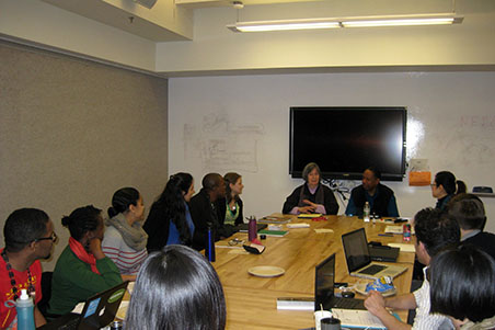
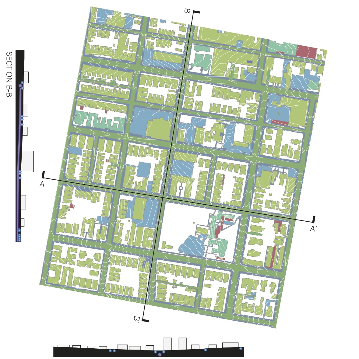
The class, taught by Anne Spirn and James Wescoat, analyzed the urban watershed through a series of transects, which, collectively, represented the variations in topography, population, and urban form in the Mill Creek watershed. Students studied best management practices for stormwater management and precedents from other parts of the world in preparation for their own design proposals.
Fall 2010
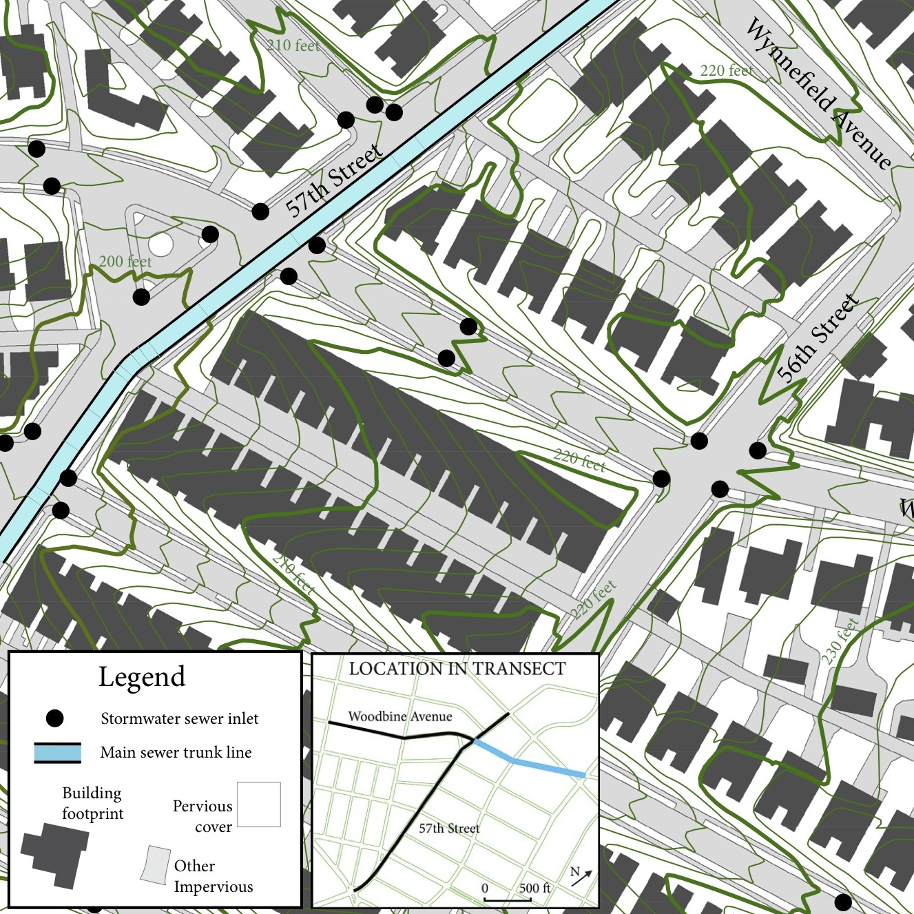
We chose eight transects across the Mill Creek valley, centered on the main truck of the Mill Creek sewer and the course of the former stream, ranging from Woodbine Avenue in the upper reaches of the watershed in the Wynnefield neighborhood to the Woodland Avenue transect near the former mouth of Mill Creek in the University City neighborhood. A team of students took on each transect and proposed design and implementation strategies appropriate to its context.
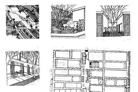
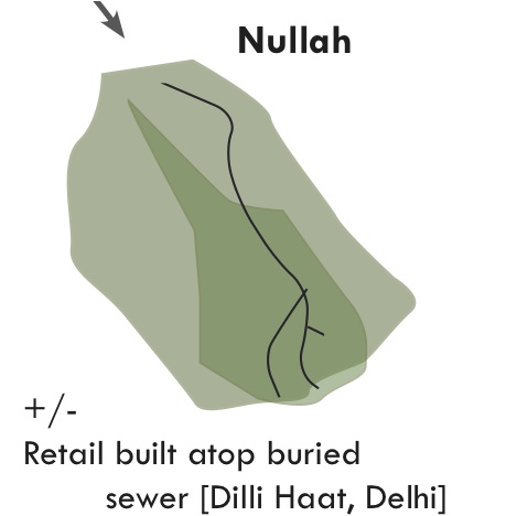
Southeast Asian Precedents
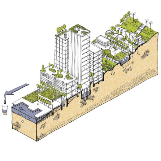
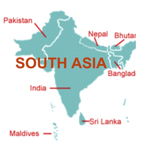
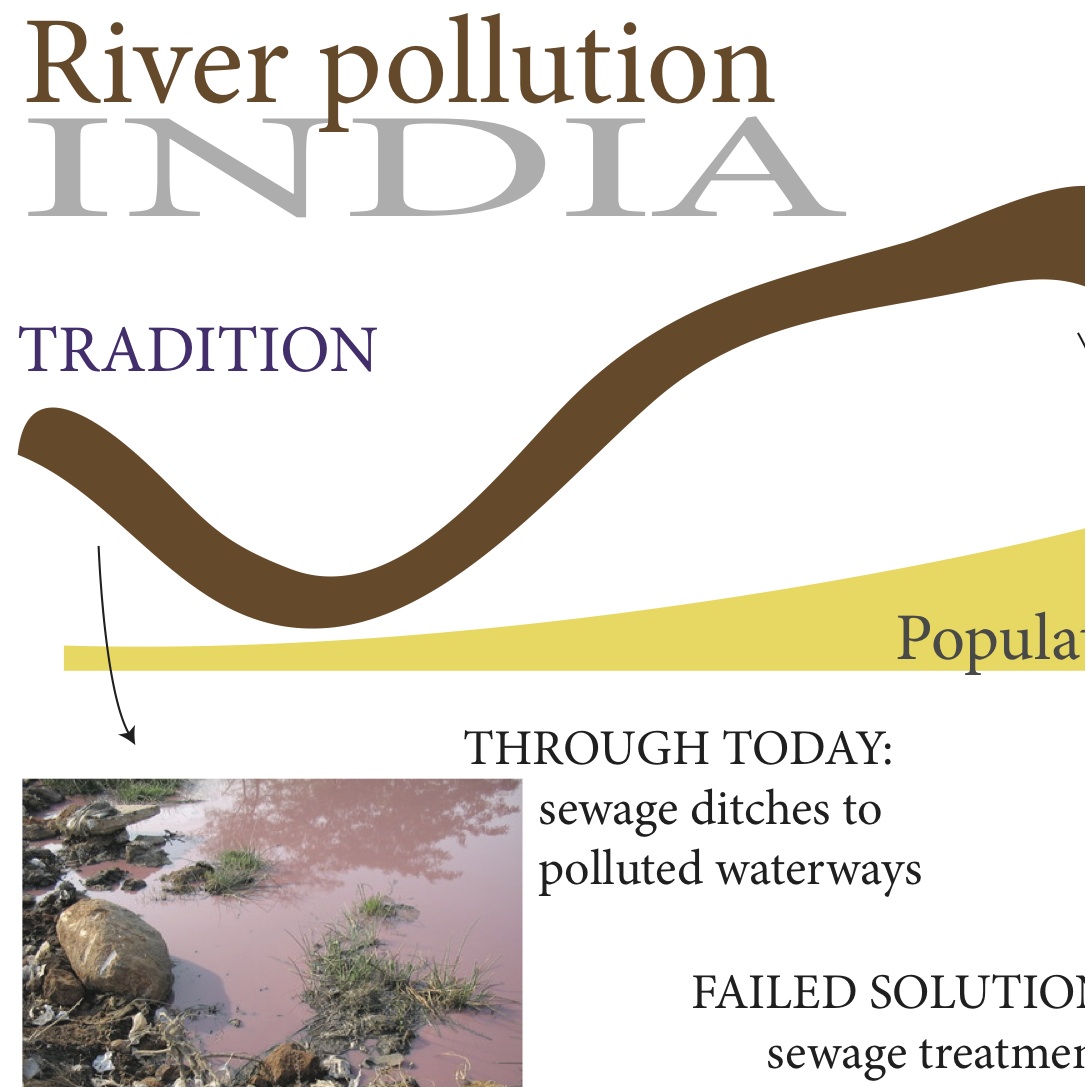
Students explored how design innovations in other parts of the world might inspire new approaches in Philadelphia. Our focus was South Asia, which has been a leader in rainwater harvesting and irrigation. This project involved identifying precedents, comparing projects across space, culture and time, and considering their use as design analogues for Philadelphia.
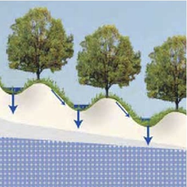
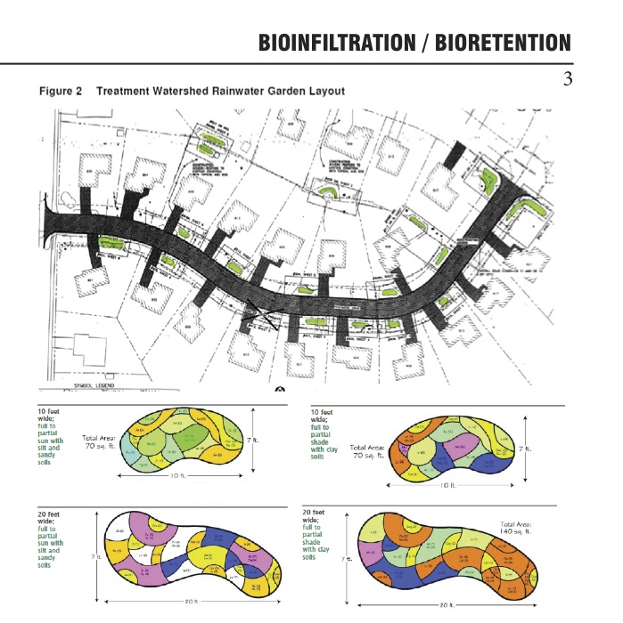
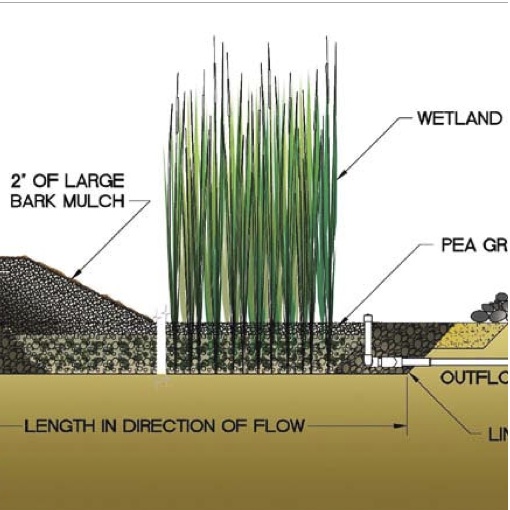
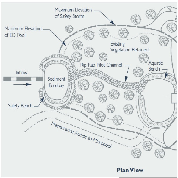
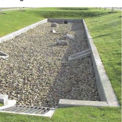
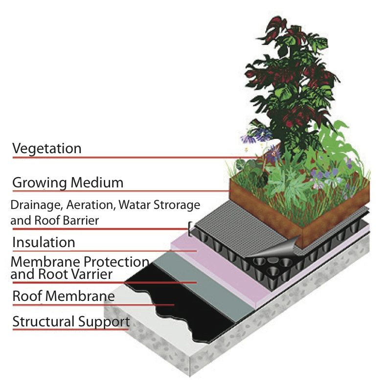
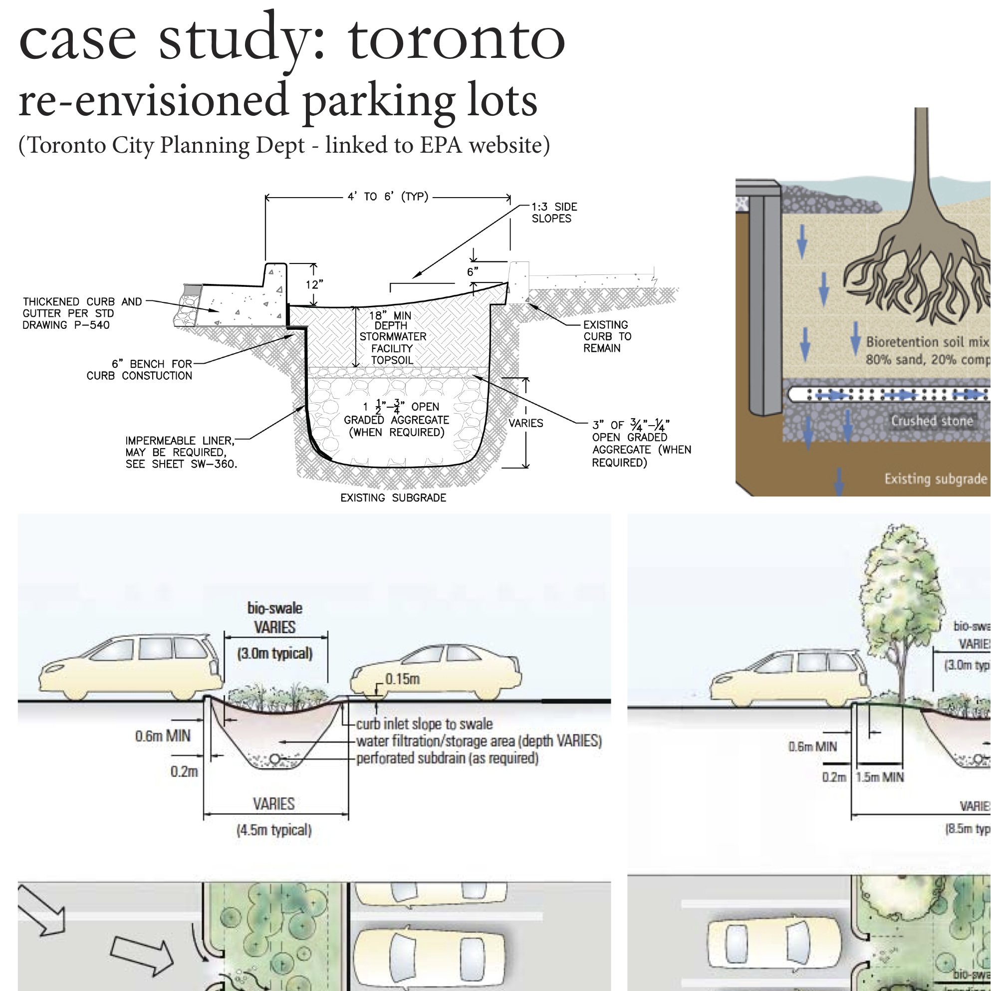
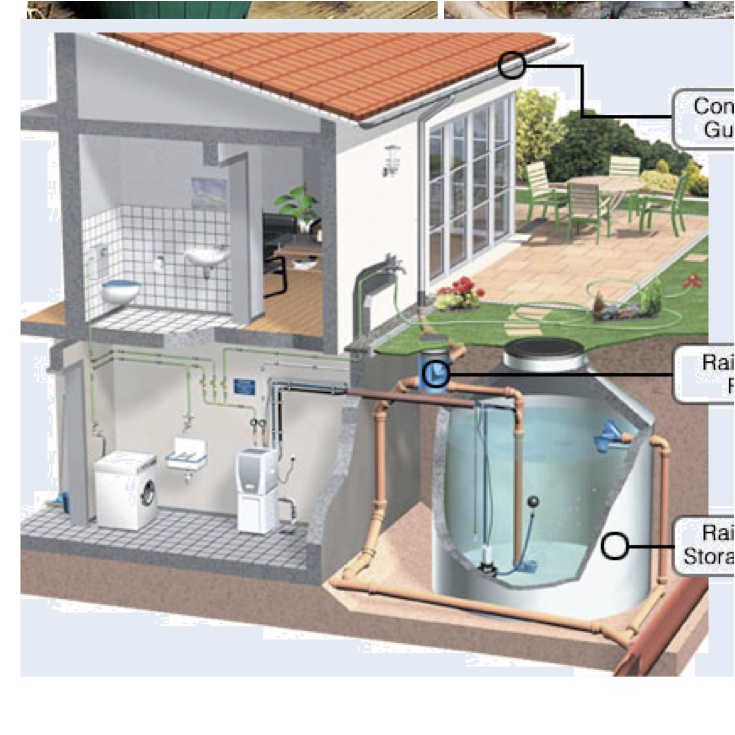
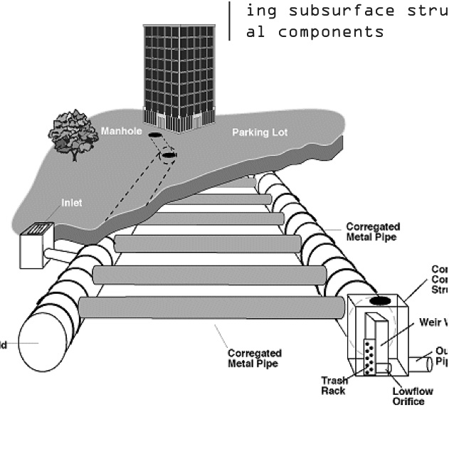
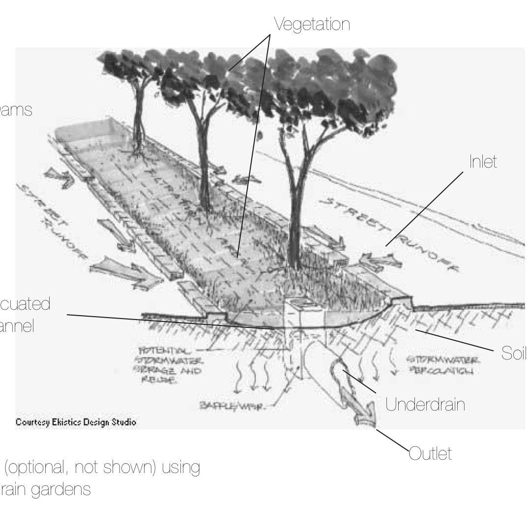
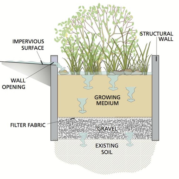
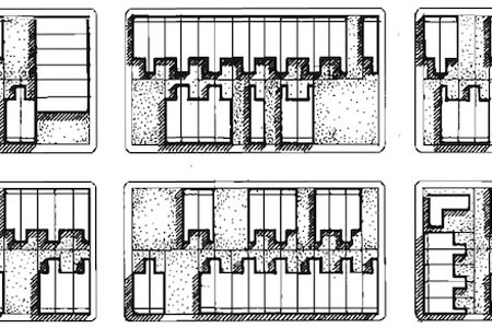
Best Management Practices (BMPs) in the Urban Landscape
To explore strategies for stormwater management, each student conducted an analysis of Best Management Practices (BMPs) for stormwater in urban environments. Each student prepared a short presentation (see right). To research each BMP, students used the EPA Urban BMP Performance Tool and stormwater design resources from key American cities, including NYC, Portland, Seattle and San Francisco.